Modeling the Tsunami of 22 December 2010 in Bonin islands
Disaster Control Research Center, Tohoku University

Seismology
- USGS
Tsunami Observation
- WCATWC web site
Modeling the Tsunami of 22 December 2010 in Bonin islands
DCRC, Tohoku University
Tsunami Model Description
- Geverning Equation : Linear Shallow Water Equations (Far-field model)
- Numerical Scheme : Leap-frog Finite Difference Method (TUNAMI-CODE of Tohoku University)
- Spatial Grid Size : 30 arc-sec. (Far-field model)
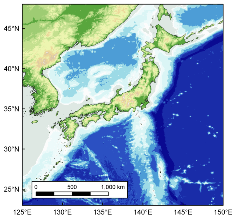
- Bathymetry Data : GEBCO
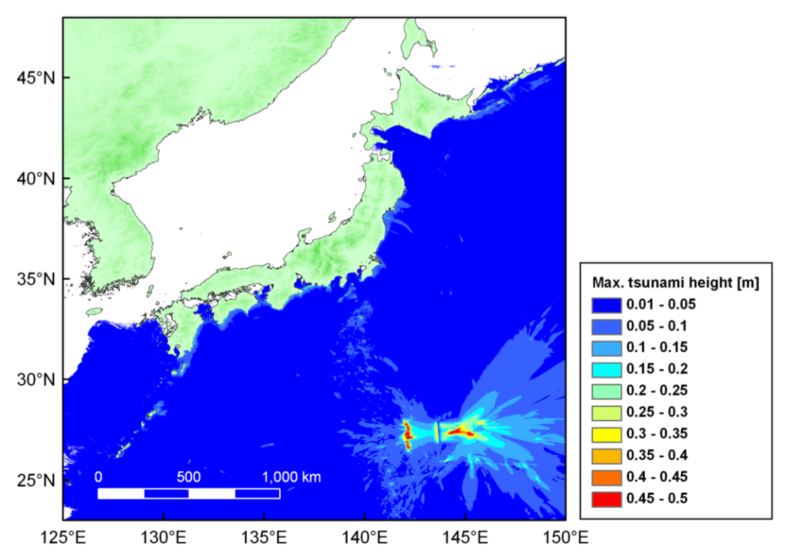
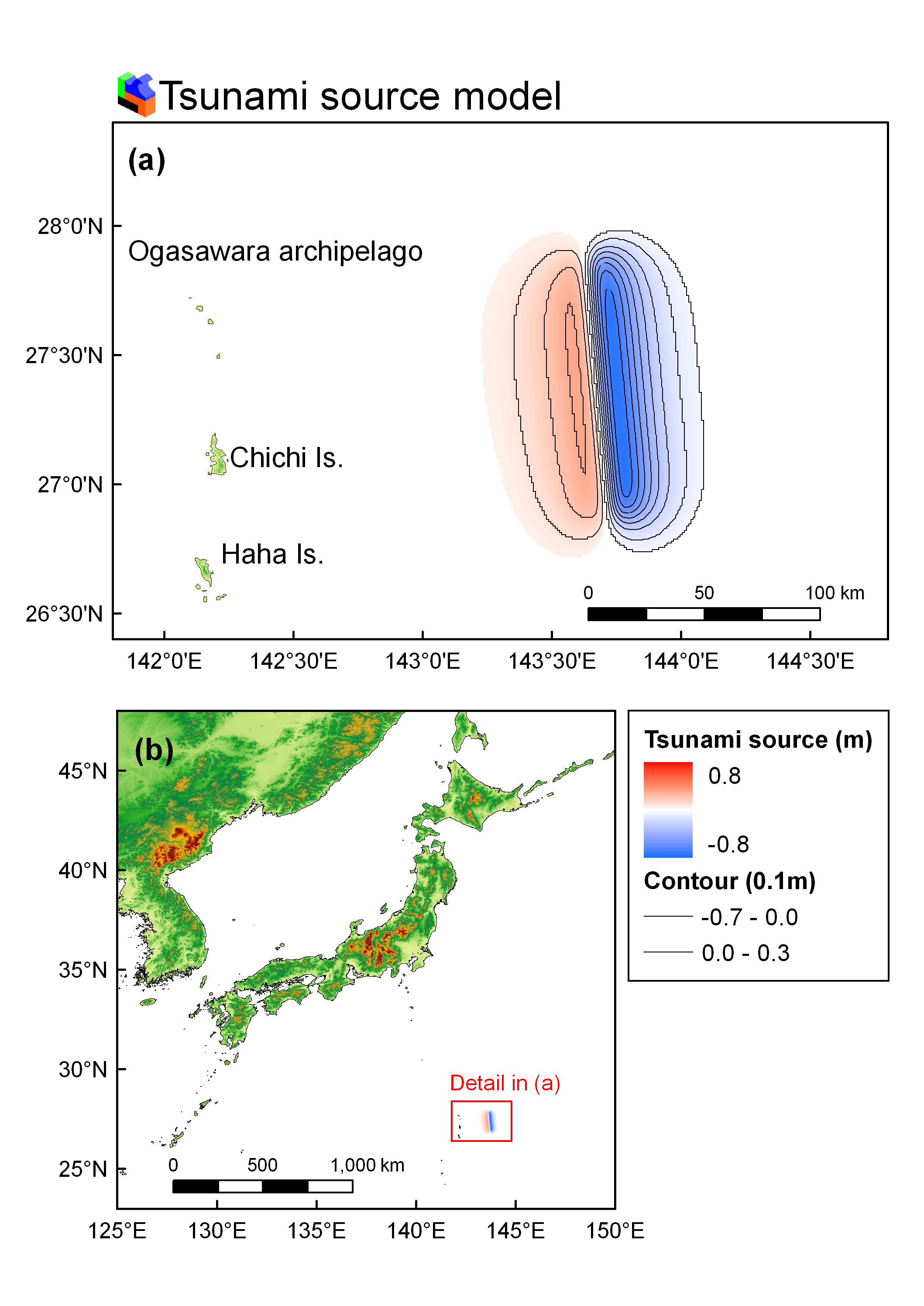
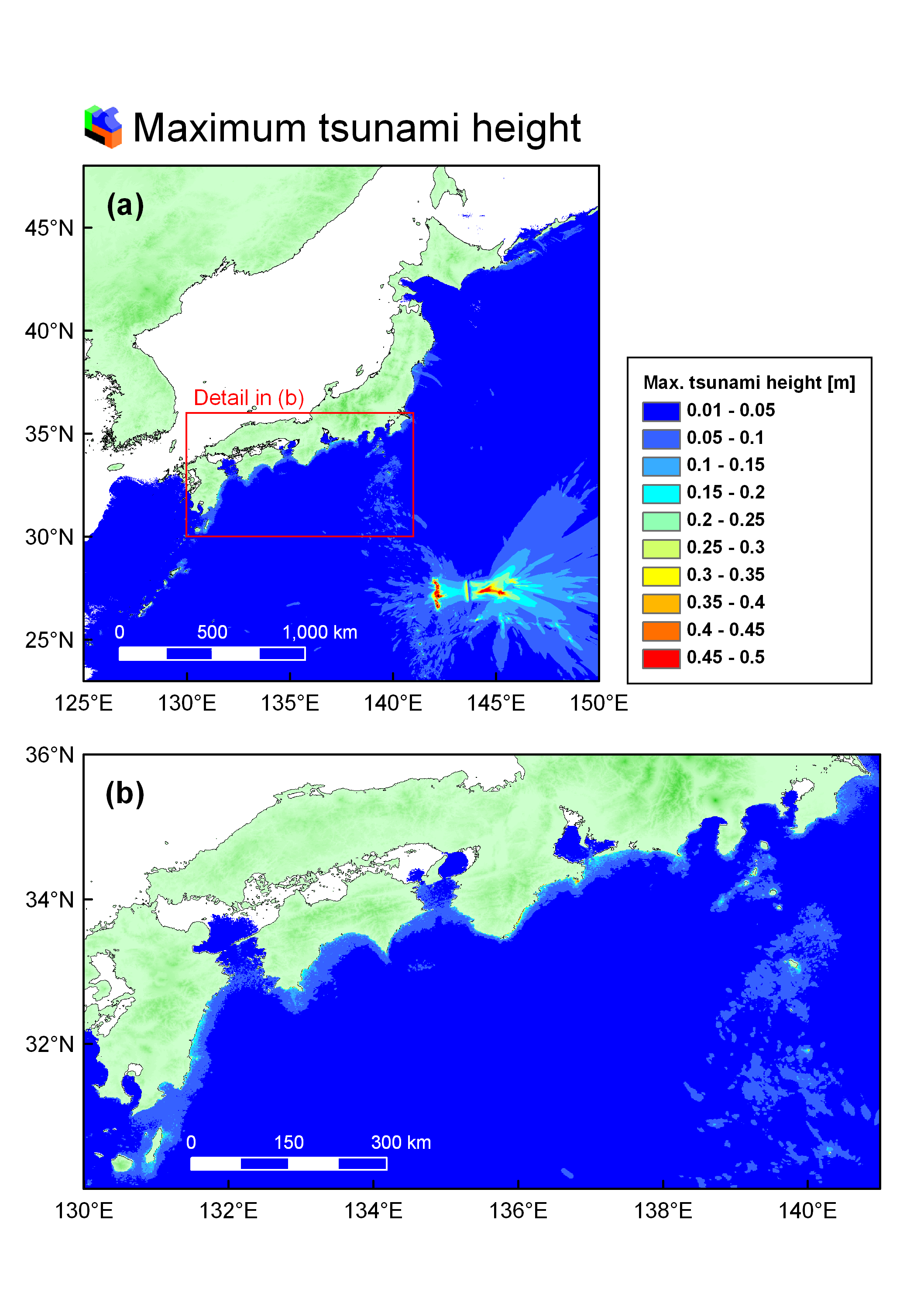
Tsunami Source Model
Case 1
- Mw = 7.4
- Lat : 26.87° N, Long : 143.74°E
- Fault Length / Width : 116 km / 16 km
- Dislocation : 2.8 m
- (Papazachos B. C., Scordilis E. M., Panagiotopoulos D. G., Papazachos C.
B., and Karakaisis G. F. 2004)
- Source Mechanism (Strike, Dip, Slip) = (347, 70, -61) Reference :USGS
- Depth : 15 km
Seismic Deformation Model Result
For original resolution, click the image below.
Case 1
Tsunami Model Result
Modeled tsunami height , click the image below
Case 1
Mid-ocean Tsunami Propagation Model Animation
Click to play(4.35MB)